Posted on September 5th, 2016
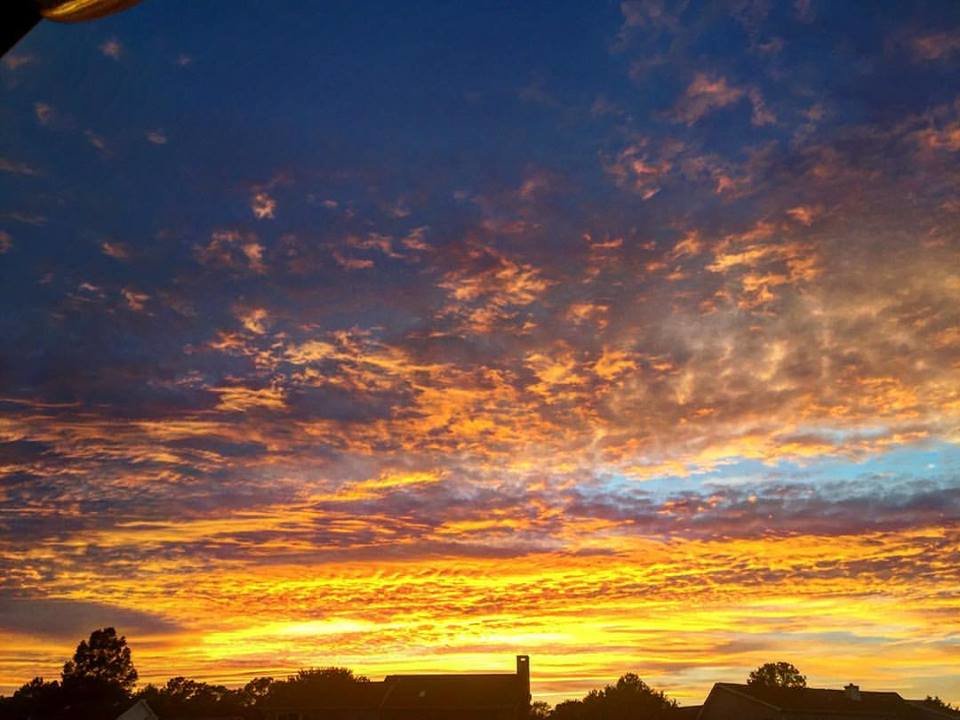
Photo courtesy Captain Jeff Coats of Pitboss Fishing.
Now that post-tropical cyclone Hermine is out to sea it’s time to think fishing again. She definitely messed things up inshore and offshore for a few days, but it could have been much worse. Hermine was predicted to stall just off our coast through Wednesday and then slowly meander to the north and east. That really could have done a number on ocean fishing interests for several days. Thankfully Hermine has already moved well to our north and east and at this point is mainly pushing a swell in our direction. It will be a day or two before the ocean becomes fishable, but the party boats could be out there as early as Wednesday and the offshore fleet will be in the canyons as soon as possible.
I’ve already heard of some fish being caught in the back bays of Ocean City and the offshore fleet will be anxious to get back out to the canyons to see if the white marlin are still around. I’ll let you know here as soon as someone gets on the water and the reports come rolling in.
Here are the inshore and offshore forecast for boats that will be fishing in, around and out of Ocean City inlet.
Coastal Waters from Fenwick Island, DE to Chincoteague, VA out 20 nautical miles.
Tonight
NW wind 12 to 15 kt increasing to 15 to 18 kt after midnight. Cloudy. Seas around 8 ft.
Tuesday
NW wind 16 to 19 kt. Partly sunny. Seas 8 ft subsiding to 6 ft.
Tuesday Night
WNW wind 11 to 14 kt. Partly cloudy. Seas 4 to 5 ft.
Wednesday
WNW wind 10 to 12 kt becoming WSW in the afternoon. Mostly sunny. Seas 3 to 4 ft.
Wednesday Night
WSW wind 9 to 11 kt. Partly cloudy. Seas around 3 ft.
Thursday
W wind around 9 kt becoming SSW in the afternoon. Partly sunny. Seas around 2 ft.
Thursday Night
SSW wind around 14 kt. Mostly cloudy. Seas around 3 ft.
Friday
W wind 5 to 9 kt becoming SSW in the afternoon. Partly sunny. Seas 2 to 3 ft.
Friday Night
SW wind around 9 kt. Partly cloudy. Seas around 2 ft.
Baltimore to Cape Charles Light to 100 nautical miles offshore.
TONIGHT
N WINDS 10 TO 20 KT…BECOMING W TO NW 20 TO 30 KT EARLY.
SEAS 9 TO 15 FT. SCATTERED SHOWERS AND ISOLATED TSTMS.
TUE
W TO NW WINDS 20 TO 30 KT. SEAS 10 TO 16 FT. SCATTERED
SHOWERS AND ISOLATED TSTMS.
TUE NIGHT
W TO NW WINDS 20 TO 30 KT. SEAS SUBSIDING TO 7 TO 13 FT.
WED
NW WINDS DIMINISHING TO 10 TO 20 KT…THEN BECOMING W TO NW 5
TO 15 KT. SEAS SUBSIDING TO 4 TO 7 FT.
WED NIGHT
SW WINDS 5 TO 15 KT…INCREASING TO 10 TO 20 KT. SEAS
SUBSIDING TO 3 TO 5 FT.
THU
W TO SW WINDS 10 TO 20 KT…BECOMING S TO SW. SEAS 3 TO 5 FT.
THU NIGHT
SW WINDS 10 TO 15 KT. SEAS 3 TO 5 FT.
FRI
W TO SW WINDS 5 TO 15 KT. SEAS 3 TO 5 FT.
FRI NIGHT
SW WINDS 10 TO 15 KT…BECOMING 10 TO 20 KT. SEAS 3 TO 5 FT.
SAT
SW WINDS 15 KT…BECOMING S. SEAS 3 TO 5 FT.
SAT NIGHT
SW WINDS 15 TO 25 KT. SEAS BUILDING TO 4 TO 7 FT.