Posted on September 3rd, 2016
Tropical storm Hermine moved into the area overnight and Ocean City is now being impacted. Hermine is now categorized as a post-tropical storm, but is forecast to gain strength now that it is over the Atlantic and possibly even reaching hurricane strength over the weekend. Ocean City will see the brunt of Hermine later today, tonight and tomorrow as it is projected to be directly off our coast by Sunday at 8 AM.
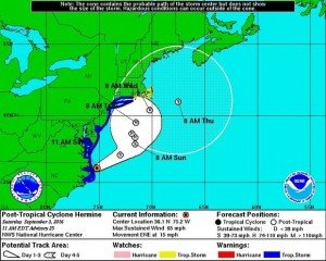
The forecast for Ocean City is for sometimes heavy rain, coastal flooding and winds switching from northeast, to north to eventually northwest from now through Monday as Hermine makes her way up the coast.
I went to the Ocean City inlet at high tide this morning to assess the situation and document the impact Hermine is throwing at us and found the inlet parking lot to be open. There were several hundred people there all looking to see Mother Nature’s power first hand. From the looks of it, everyone was being smart and safe and Ocean City’s finest were on hand to make sure of it. I spoke to an Ocean City police officer who informed me that the Town of Ocean City Emergency Management was going to be meeting to discuss Hermine and that the inlet parking lot will probably be closed as well as parts of downtown if flooding calls for it.
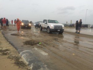
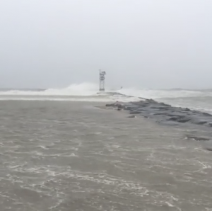
This was the first high tide that was being impacted by Hermine and the ocean had already swallowed up the south end of the beach and 8′ -15′ waves were crashing the beach and north jetty.
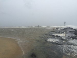
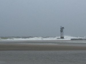
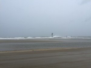
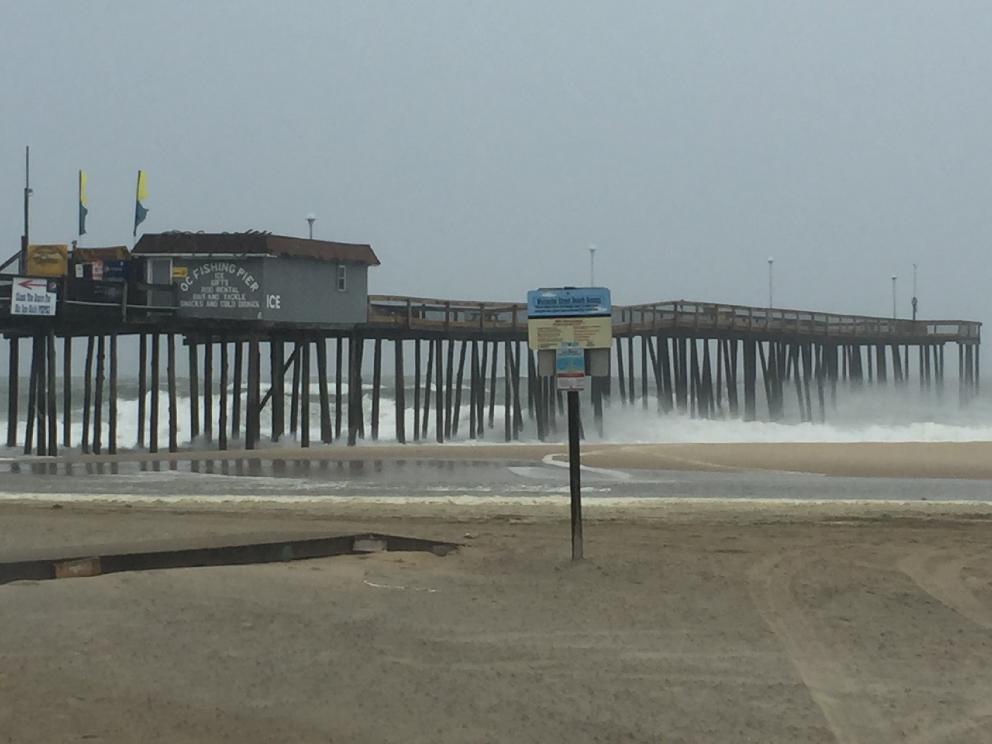
I took a shot at the OC Fishing Pier which is susceptible to damage in strong storm like this, and it was still intact and handling the wind and waves well so far. The wind was whipping around the corner by the pier at 30-40 knots which made the rain and sand actually sting on any exposed skin. The conditions are only going to deteriorate over tonight and tomorrow so if you don’t need to go out, don’t.
I cruised downtown Ocean City to see what sort of damage and flooding had taken place early on to find that there was only minor damage and minor flooding. There were some trash cans and dumpster lids blown over and except for the usual spots being flooded, most streets were clear and passable. There were some side roads that had flooding and under the route 50 bridge was slightly flooded. This will probably be worse as the tides progress because the water in the back bay has no way of getting back out into the ocean with the strong easterly winds associated with Hermine right now. When Hermine moves up the coast and the winds switch to northwest, that should help.
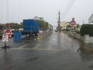
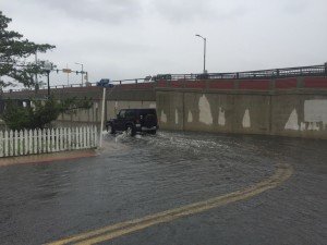
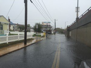
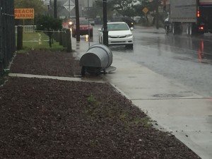
I’ll be going back out tonight at high tide to see if it’s gotten any worse and I’ll be updating with video and pictures on our Facebook page at www.facebook.com/fishinoc
Click the photo to view the video I shot at the Ocean City inlet parking lot at high tide this morning. Ocean water was up to the parking lot and waves were crashing the beach and north jetty.

